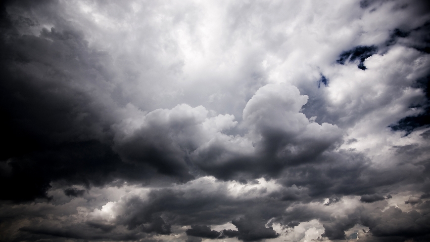
Severe storms are set to hit parts of the state’s south, with the weather bureau warning of possible flash flooding across the region.
The bureau has warned that the storms could dump between 20 and 30 millimetres of rain over parts of Melbourne in as little as 20 minutes on Monday afternoon.
“In the next few hours anywhere in the metro area could see severe thunderstorms,” senior forecaster Richard Carlyon said.
“We could get heavy downpours that could cause flash flooding, if we get the centre of these severe storms across parts of Melbourne. As we move into the afternoon we’re more likely to see heavier bouts of rain with any thunderstorm activity.”
Mr Carlyon said a long, line of storm cells was moving towards Melbourne from the state’s north-west.
“There is an extensive band of storms right back to the western border, up towards the north-west corner of the state near Mildura,” Mr Carlyon said.
He said a warm, humid air mass, which moved into Victoria from the northern states at the weekend, had generated the stormy weather.
“We haven’t had much humidity so far this spring, hence it’s been a dry spring…but across the weekend we saw moisture increase and that’s made the atmosphere fairly tropical,” Mr Carlyon said.
Inner-Melbourne received little more than five millimetres of rain between 9am and noon on Monday, although outter areas including Geelong and Lara received about 15 millimetres.
The wet weather is forecast to continue on Tuesday, with a 50 per cent chance of rain in the city, according to the Bureau of Meteorology.
Maximum temperatures are expected to remain about 20 degrees for much of the week, before the mercury rises to 26 degrees on Friday.
Partly cloudly conditions are forecast for the weekend, with top temperatures of 29 degrees on Saturday and 30 degrees on Sunday.
Melbourne’s wettest day so far this year came on Sunday, November 16, when 40.6 millimetres fell across the city.