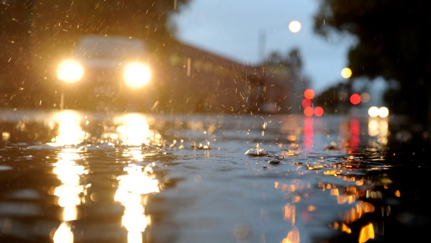
If you kicked off the doona last night you weren’t the only one. But the slight reprieve from the pre-winter chill will be short-lived.
The temperature stayed in the double digits overnight, but the slight reprieve from the pre-winter chill will be short-lived, with cool and wet conditions forecast for the end of the week.
It may have felt rather warm on Monday night, but the temperature was only 1 degree above the long-term April average, Bureau of Meteorology forecaster Dean Stewart said.
The mercury dipped to 12.4 degrees at 10.43pm.
However, it was a good deal warmer than Sunday night, when the temperature fell to 7.6 degrees in the city.
“It wasn’t actually that warm last night, but I guess compared to the previous night, it was 5 degrees warmer,” Mr Stewart said.
Melbourne is set for another relatively balmy night on Tuesday, with the mercury set to hover about 15 degrees.
It will by no means be the hottest April night on record – that was set on April 1 last year when the mercury climbed to 27 degrees.
The temperature is expected to reach 24 degrees on Tuesday after isolated morning showers. A little more than 2 millimetres of rain had fallen in the city by 7am.
The mercury is set to reach 27 degrees on Wednesday, before a cold front moves in from the west.
“There will be a cooler change coming through late afternoon, so there will be cooler conditions on Thursday with a top of 18 degrees and isolated showers in the morning,” Mr Stewart said.
Cool and wet conditions are forecast for Friday, with a top of 19 degrees. Isolated showers are also forecast for Saturday, with a maximum of 20 degrees.
The showers are set to continue and the temperature due to drop further on Sunday, with a minimum of 9 degrees and a top of 16 degrees expected.