Up to 18 properties in Rockbank could be acquired by the state government for a regional park.
As part of the Kororoit Precinct Structure Plan (PSP), the state government and Melton council are working with the community on the final boundary of the proposed Kororoit Regional Park.
According to a Metropolitan Planning Authority (MPA) report distributed to Rockbank and Plumpton homes in November, 2014, the draft boundaries are between Clarke and Sinclairs roads near the Western Highway.
But the park’s final boundaries will be determined by the state government by the end of this year, according to MPA chief executive Peter Seamer.
“Once the park boundaries are determined, impacted landowners will be contacted by the Department of Land, Water and Planning to confirm whether or not their land will be required for the regional park,” Mr Seamer said.
“If land is identified to be part of the park, owners will be provided with options for selling their land to the Victorian government.”
Mr Seamer said the proposed park was an important feature of the Kororoit PSP and included in the 2013 Biodiversity Conservation Strategy for Melbourne’s Growth Corridors.
According to the strategy, the park will:
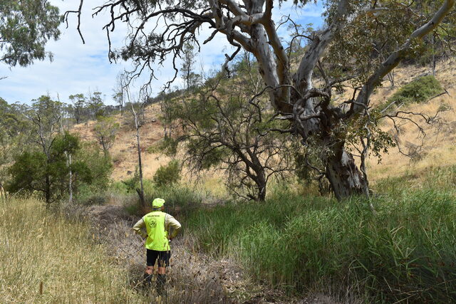
• Establish a small conservation area within the growth corridors to protect “natural temperate grassland”.
• Include a small conservation area for the habitat of the spiny rice flower and golden sun moth.
• Ensure no substantial negative changes will occur to known populations of the small golden moths orchid.
• Be an area suitable for growling grass frogs.
Melton council’s city design, strategy and environment manager, Laura Jo Mellan, said the park was vital to meeting the city’s recreational needs.
“The state government, through its agencies the MPA, Parks Victoria and Department of Land, Water and Planning, will determine the location of the boundaries,” she said.
“We are working with the MPA to get the best outcome for the community.”
The state government was contacted for comment.


